KNOW YOUR CAMPUS
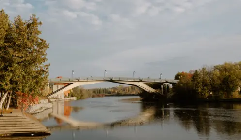
Welcome to Trent University! We’re so happy that you’ve decided to purse your graduate studies with us. No matter which campus you’re based out of, you have access to approximately 1,400 acres of research and teaching facilities featuring 11 distinct nature areas with over 30 kilometers of trails. We hope you take the time to explore our beautiful campus and all it has to offer!
Territory Acknowledgement
The TGSA respectfully acknowledges that we are on the treaty and traditional territory of the Michi Saagiig Anishinaabeg. We offer our gratitude to the First Peoples for their care for, and teachings about, our earth and our relations. May we honour those teachings.
Throughout your time at Trent, you will hear these words said quite often. Since it was founded, Trent University has incorporated Indigenous culture and ways of learning into its curricular and extra-curricular programming, becoming an internationally recognized leader in Reconciliation and cooperative Indigenous Relations. The Chanie Wenjack School for Indigenous Studies, founded in 2017, provides a number of resources for students to begin their journey in understanding our relationship with Indigenous peoples and Indigenous knowledge. Students are encouraged to learn about why we offer our gratitude to the First Nations for the land that we occupy.
Trent University’s Peterborough and Durham GTA campuses are located on the treaty and traditional territory of the Mississauga (Michi Saagiig) Anishnaabe, which is made up of Curve Lake First Nation, Alderville First Nation, Hiawatha First Nation, and the Mississaugas of Scugog Island First Nation. It is important to understand that a Territory Acknowledgement, although widely practiced at Trent, should still be recited in a way that feels meaningful and disrupts your regular pattern of thinking. For more information about Indigenous studies at Trent, and to learn more about your role in Reconciliation, visit the First Peoples House of Learning located in Peter Gzowski College, or reach out by email at [email protected].
Nature Areas
Trent has 11 distinct Nature Areas featuring over 30 kilometers of trails to explore around the Symons campus. These areas are the responsibility of the Nature Areas Stewardship Advisory Sub-Committee who oversee maintenance, collaborations, research, and teaching within the areas. A map of all of the nature areas can be found here, or you can use any of the links below to learn more about an individual area.
Trent is committed to preserving the surrounding nature areas, and part of that responsibility falls on those that use them. It is important to become familiar with the features of the areas you are exploring and abide by the regulations set out by the Nature Areas Stewardship Advisory Sub-Committee. Ensure you are respectful to the native wildlife, other visitors, and the areas. Ensure you leave the areas in the way you found them, including picking up your garbage and waste. Dogs are only allowed in certain nature areas and are required to be always leashed. Trails that do not permit dogs are marked. Ensure you scoop up after your dog.
If you have any questions, want to report an issue in the nature areas, or would like to learn how you can be involved in the nature areas, please contact [email protected].


